CDS 1, third floor
Mikhail Kanevski: "Machine learning of geospatial data: achievements and new trends" (practice will be done with user friendly software, programming skills are not required) | |
09:30 – 10:00 | Registration |
10:00 – 11:15 | Session I |
11:15 – 11:45 | Coffee break |
11:45 – 13:00 | Session II |
13:00 – 14:00 | Light lunch |
14:00 – 16:00 | Session III |
16:00 – 16:30 | Coffee break |
16:30 – 17:30 | Session IV |
CDS 2, third floor
Milan Kilibarda / Tomislav Hengl: "Introduction to spatial and spacetime objects in R" | |
09:30 – 10:00 | Registration |
10:00 – 11:15 | Session I |
11:15 – 11:45 | Coffee break |
11:45 – 13:00 | Session II |
13:00 – 14:00 | Light lunch |
14:00 – 16:00 | Session III |
16:00 – 16:30 | Coffee break |
CDS 1, third floor
Tomislav Hengl: "Automated mapping in 2D, 3D, and 2D+T using machine learning in R" | |
09:00 – 11:00 | Session I |
11:00 – 11:30 | Coffee break |
11:30 – 13:00 | Session II |
13:00 – 14:00 | Light lunch |
Milan Kilibarda : "Spatial and spatio-temporal prediction and visualisation of climate elements in R" | |
14:00 – 15:30 | Session I |
15:30 – 16:00 | Coffee break |
16:00 – 17:30 | Session II |
Hall 225, second floor
Session Chair: Milan Kilibarda | ||
09:30 – 09:45 | Welcome note (Milan Kilibarda / Branislav Bajat) | |
09:45 – 10:30 | Mikhail Kanevski: Advanced Analysis of Environmental Data Using Machine Learning | |
10:30 – 11:15 | Tomislav Hengl: Automated global soil mapping: discovering spatial soil patterns using machine learning | |
11:15 – 11:45 | Coffee break | |
Session Chair: Milan Kilibarda | ||
11:45 – 13:00 | Session I | |
Mladen Nikolić: Feature Extraction for Rasters Using Autoencoders | ||
Velibor Ilić: Kriging with machine learning covariantes in environmental sciences: A hybrid approach | ||
Víctor Rodríguez-Galiano: Regression trees for modelling water demand in Sevilla city (Spain) | ||
Tomislav Hengl: Machine learning as a generic framework for spatial and spatiotemporal prediction | ||
Víctor Rodríguez-Galiano: Random Forest for modelling anomalies in the land surface phenology of the European forest | ||
13:00 – 14:00 | Light lunch | |
Session Chair: Tomislav Hengl | ||
14:00 – 14:45 | Wolfgang Wagner: Time series analysis of Sentinel-1 backscatter data on a high performance computing platform | |
14:45 – 16:00 | Session II | |
Bartosz Czernecki: Statistical modeling of phenological phases in Poland based on coupling satellite derived products and gridded meteorological data | ||
Dragana Đurić: Mapping of the East Vardar Zone ophiolite using remote sensing and geophysical data | ||
Dragutin Protić: Sensitivity of vegetation indices derived from Sentinel-2 data to change in biophysical characteristics of winter crops during growth phase | ||
Andreas Scheidegger: Recurrent Neuronal Network tailored for Weather Radar Nowcasting | ||
Dejan Stojanović: Observed NDVI change in poplar plantation based on LANDSAT 8 images | ||
16:00 – 16:30 | Coffee break | |
Session Chair: Miloš Kovačević | ||
16:30 – 17:30 | Session III | |
Mileva Samardžić Petrović: Total electron content prediction using machine learning techniques | ||
Milutin Pejović: Extensions of 3D trend models of soil variables | ||
Melita Perčec Tadić: gridded monthly temperature fields for Croatia for the 1981–2010 period | ||
19:30 – --:-- | Conference dinner (Click for location) |
Hall 225, second floor
Location: University of Belgrade - Faculty of Civil Engineering Belgrade, Serbia
Event date: Tuesday, June 21, 2016 to Friday, June 24, 2016
Conference aims at researchers in the field of Climate and Environmental Science, Geoinformatics, as well as geostatistics and machine learning.
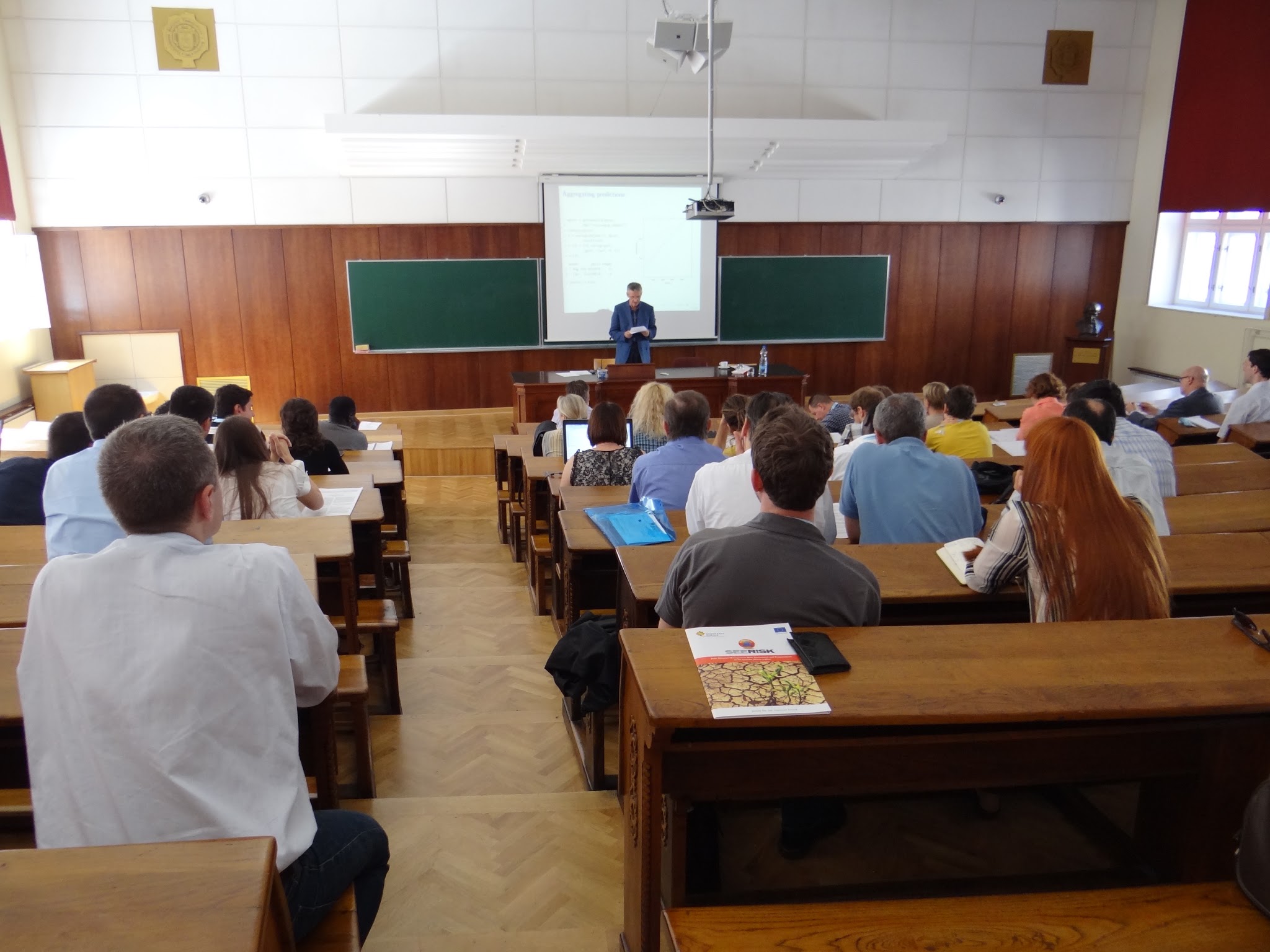
The GeoMLA conference will be held in the original Milutin Milankovich lecture hall. Milutin Milankovich, one of the pioneers of climate science and a popularizer of science, has been ranked among the top fifteen minds of all time in the field of earth sciences by NASA (edition of "On the Shoulders of Giants").
To attend conference, after Registration go to your Dashboard and create Profile.
The GeoMLA conference and workshops in Belgrade aims at reviewing the recent progress in the application of Machine learning and geostatistics in Climate and Environmental sciences. The conference sessions will cover topics such as modelling of climate science data, spatio-temporal predictions in 2D, 3D, 2D+T and 3D+T, novel approaches to automated mapping and geoinformatics for Environmental sciences, combining geostatistics and machine learning, change detection and temporal analysis of meteorological and climatic variables.
This Conference and workshops are closely related to the similar event organized and hosted by the same working group in 2014 (DailyMeteo/2014), and which resulted in a special issue in Spatial Statistics journal on "Spatial and spatio-temporal models for interpolating climatic and meteorological data" (Guest editors: Dr. Tomislav Hengl, Dr. Edzer Pebesma, Dr. Robert J Hijmans). With GeoMLA we are trying to go a step further by bringing together state-of-the-art machine learning and geostatistical methods and software.
Connected events: GEOSTAT Summer School, Albacete Spain Sun 18th Sept - Sat 24th Sept 2016
is a full professor of geomatics at the Institute of Earth Surface Dynamics, University of Lausanne. He has a PhD in theoretical plasma physics. At present, his scientific interests deal with environmental data mining, development and applications of machine learning algorithms, nonlinear time series analysis and prediction, visualization of complex high dimensional data. The main applications concern environmental risks, natural hazards, mining of socio-economic data. Prof. Kanevski is a co-author of several books on data science and more than a hundred publications on corresponding topics.
Send emailis a professor of geophysics at the Faculty of Science, University of Zagreb. He is also a member of Croatian Academy of Science and Art. His major interests include physical processes in the sea and atmosphere-sea interaction. Thus, for example, he has recently worked on an improvement of the semi-empirical method of analysis and projection of sea level. He has also contributed to the development of some statistical methods, with one of them – partial wavelet analysis – being increasingly used not only by geoscientists but also by economists. Prof. Orlić has co-authored more than eighty refereed publications and a book on the weather and climate of the Adriatic area.
Send emailhas MSc degree in physics and the PhD degree in remote sensing. He is professor for remote sensing at the Institute of Photogrammetry and Remote Sensing of TU Wien and the head of the newly founded Department of Geodesy and Geoinformation. Furthermore, he is co-founder of the Earth Observation Data Centre for Water Resources Monitoring (EODC), acting as head of science. The main research interest lies in physical modeling and geophysical parameter retrieval from remote sensing data. He has been committee member of several international conferences.
Send emailhas been affiliated to the Norwegian Meteorological Institute (met.no) as a researcher since 1995. He became senior scientist in 1998 and was appointed as head of the “Climate data and spatial analysis” in 2011. Tveito is an experienced expert on spatiotemporal analysis of climatic variables, snow modeling, atmospheric circulation classifications, extreme value analysis and homogeneity testing. He has developed the Norwegian high resolution observation grid data set that is heavily utilized for climate assessment studies. He has a broad experience in working with scientists from other disciplines, in particular hydrology, ecology and forestry. He frequently give lectures at universities in Norway and Sweden.
Send emailis a senior researcher at ISRIC — World Soil Information with core speciality in big data analytics and automated soil mapping. He has backgrounds in soil mapping and geo-information science. He is currently the project leader of the Global Soil Information Facilities — a suite of software tools, web-facilities and data sets (SoilGrids, soil profiles) for automated global soil mapping. He leads development of mobile phone and web apps for serving and sharing soil data from professional users to non-specialists. He is an experienced R developer (spatial and spatiotemporal data analysis); he also regularly runs training courses using Open Source Software tools via ISRIC Spring Schools and the GEOSTAT Summer schools.
Send emailWorkshops specifically aim at PhD students and researchers interested in applications of geostatistics and machine learning in climate and environmental studies.
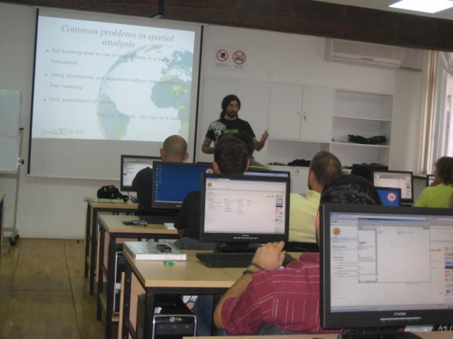
The workshop will consist of three parallel training sessions (tutorials) which will be run by the original package developers. To find out more about the GeoMLA Workshops go to Topics. To attend workshops, after Registration go to your Dashboard and create Profile.
Participants have option to select two workshops at the same time. Workshop schedule will be announced later in accordance with the number of registered participants.
Submission for conference proceedings is possible in form of extended abstract or full paper. For extended abstract the maximum length of a manuscript is 3 pages in provided template. For full paper the maximum length of a manuscript is 6 pages in provided template.
See topics of interest (Topics).
Submission will be open on 5th of December 2015.
Deadline for submission of abstract is 10th of April 2016.
Contributed extended abstracts will be internally reviewed by the Scientific Committee and then, upon acceptance, published in the conference proceedings. A selection of extended abstracts will be further invited for a contribution in a special issue in Gefozika.
To submit an extended abstract or full paper for this Conference please go to your Dashboard.
DOC TEMPLATE FOR GeoMLA 2016.
Recommended: Take mini bus A1 from arrival terminal to Slavija Square. A price is 300 RSD (2.6 EURO). You can change EUR to RSD at airport (1 EUR = 120 RSD) or you can use cache machine at airport. A1 timetable.
From Slavija Square take Tram 2 to GeoMLA (Faculty of Civil Engineering). It is just 2 stops, exit on the second stop (Slavija Trg/Nemanjina - Vukov Spomenik). A price is 150 RSD (1.25 EURO). Tram 2 route.
From Slavija Square to GeoMLA (Faculty of Civil Engineering) walking route (10 mins).
Alternative: Take taxi from Airport to Faculty of Civil Engineering. DO NOT TAKE TAXI DIRECTLY FROM TAXI DRIVERS. Go to TAXI INFO desk (located in the baggage reclaim area) in the airport building. (around 1800 RSD - 15 EUR, depending on working days or holiday tariff).
For more info: follow this link.
Say Hello To Us
If you need any further informations or details, please feel free to contact us.
Deadlines
15 April 2016
--